During this long break, I went to visit the mountains for a few days. I really wanted to finish a painting and show it today, but after coming back I wanted to add something to said painting. So, it will have to wait for another day. For today, I have a few photos from the Eastern Sierra Mountains along with the tale of a walk that I finally managed to finish after giving up on two previous occasions.
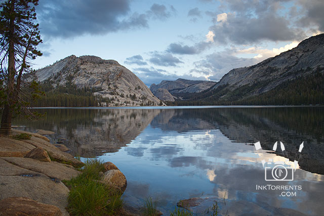
During the afternoon of our first day there, we went to our favourite spot at Tenaya Lake. I have photographed it many times before, like this photo taken the last time I was there.
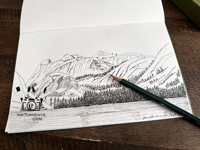
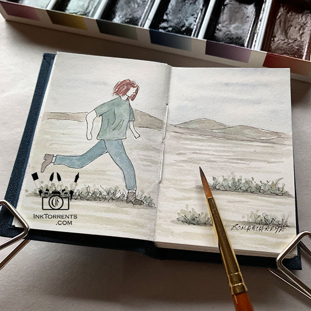
I simply grabbed my sketchbook. Sitting there by the lake, I finished this drawing just as the sun dipped behind the mountains. The air around us started to get really chilly without the warm jackets which we left in the car by mistake!
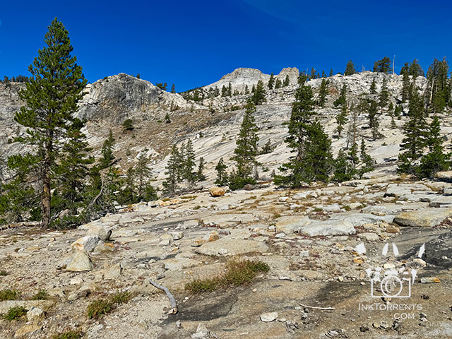
Our first walk was to May Lake the next day. The trailhead starts at 8,710ft and the lake is at 9,270ft, so you have to stay mindful of the thin air.
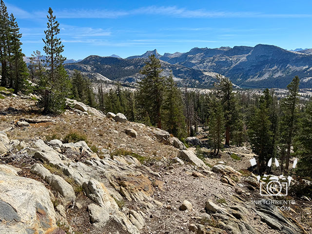
Other than that, it was an usual Sierra mountain trail going through forest, granite slabs and gorgeous views.
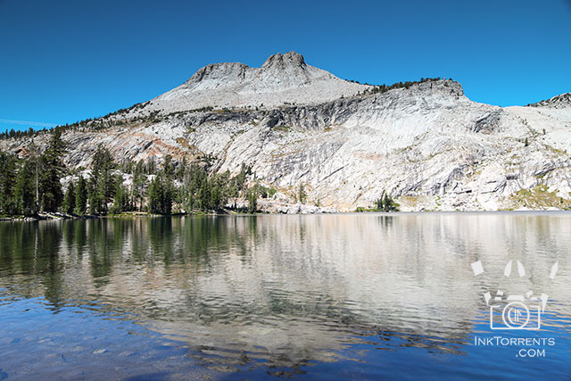
May lake with Mt. Hoffman looming over it on one side. We had our lunch at the lake shore and read our storybooks for a long while.
At 8,000ft – 10,000ft on Tioga Pass, the air is much cooler, trails often windy, and my suffocating allergies non-existent. With that, however, comes the harsh sun and thin air. The thin air effects everyone differently. I tend to get bad altitude sickness, which causes headache and nausea.
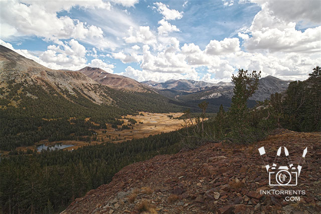
Photo from last time. I had to give up at this point.
After acclimating ourselves with the May Lake walk, our destination next day was the Gaylor Lakes Basin. The trail starts at 9,970ft and goes all the way up to 10,750ft. The first part of the trail is relentlessly steep, gaining 500ft all at once, over a distance just shy of a mile over rocks and rubble. Because of the high elevation, National Park Service rates it as moderately strenuous. I had to give up twice before on this trail. I got so sick with headache and nausea that it would have been risky to continue.
Over the last twelve months I have been building up my cardiovascular health by increasing my running speed and distance. I had no idea if it would help or not; that was to be seen on the trail. I was also aware of the back pain that I still have from a fall on a trail in July. I took Acetaminophen that morning and used a topical pain reliever.
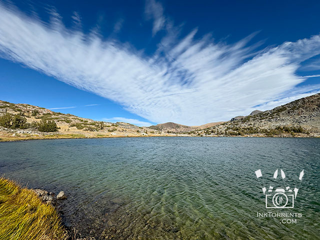
Once we finished our 500ft climb to the crest and started the 200ft steep descent toward Middle Gaylor Lake, I could not believe that I made it there this time!! I didn’t have even an inkling of altitude sickness.
We spent a good 30 minutes sitting by the lake shore enjoying lunch and reading our books.
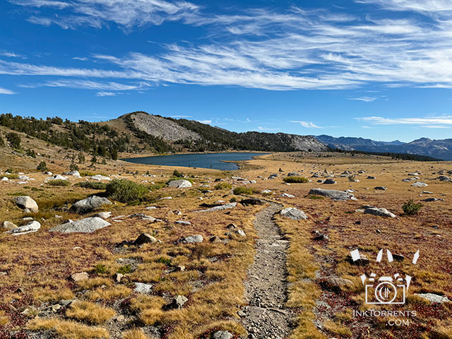
After lunch we made our way to Upper Gaylor Lake which is not too far away.
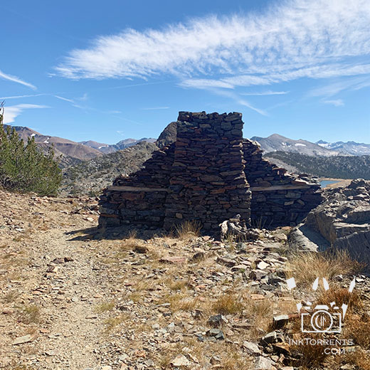
Once we got there, we took another upward trail off to the left, leading to Great Sierra Mine to see the few remaining stone structures. The wind was fierce here, and we were glad to have our jackets. I can’t even begin to imagine what would make anyone want to have a settlement on this windy, harsh, rocky, and desolate place. It is beautiful, but not exactly habitable.
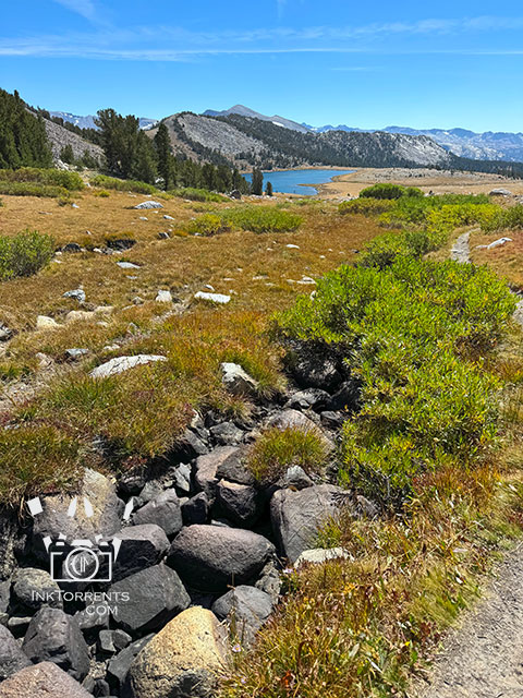
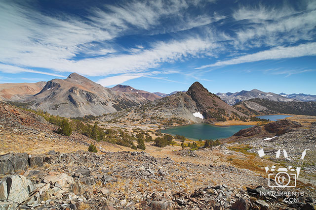
By this time, the day was winding down and I still wanted to take a few photos. We slowly backtracked to Middle Gaylor Lake and I took photos along the way.
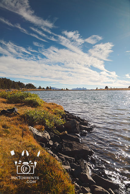
After a bit of rest and snacks back at the lake, it was time to say “see you later.” The mountains always reply “we will be here.” There is another set of lakes here that we didn’t have time to explore this time. We both know we will be back here again.
Eastern High Sierra is a very special place for me. As soon we cross over one of the mountain passes to Hwy 395, my heart feels at home. As you can see, I would go to any lengths to get a little closer to the mountains. I hope you enjoyed this tale and the photos of our adventure. Next time I will share the painting inspired by this magical place.
Until next time,
-Soma
I am linking up with the linky parties on my Events And Links page. Please consider paying a visit to some of them.
Leave a comment
